BETTER DATA. BETTER DECISIONS.
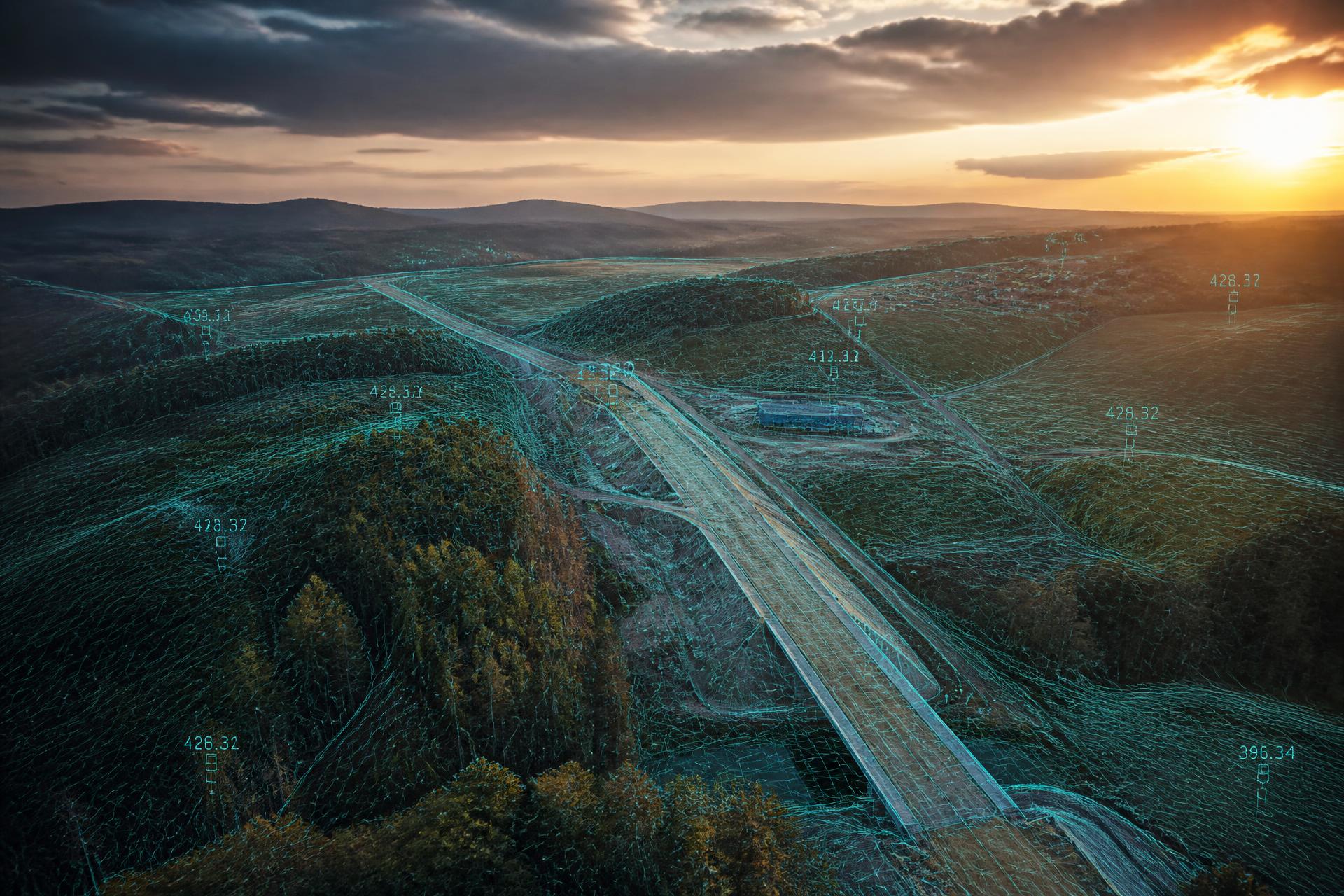
A digital twin of the real world.
From individual buildings to industrial complexes and vast areas. We capture the actual condition and turn it into precise digital deliverables for design, reconstruction and asset management.
13+
years of experience
3000+
projects delivered
9 countries
across Europe and beyond
What we do
From survey to digital model
UAS (drones)
Unmanned aerial vehicles for fast, accurate data capture over large areas.
DetailsPhotogrammetry
A standard surveying method for capturing highly detailed 3D geospatial data.
DetailsLaser scanning
Buildings, industrial plants, monuments and technological units in hundreds of millions of points.
DetailsAs-built documentation
Digital documentation of the actual state of a building.
DetailsMapping
Map data that matches the actual state in the field.
Details3D model / BIM
Spatial data in one model you can work with at every project stage.
DetailsLaser scanning
Hundreds of millions of points, millimetre density
Buildings, industrial plants, historic monuments and technological units. The point cloud captures the true state without compromise — and stays usable for years.
How it works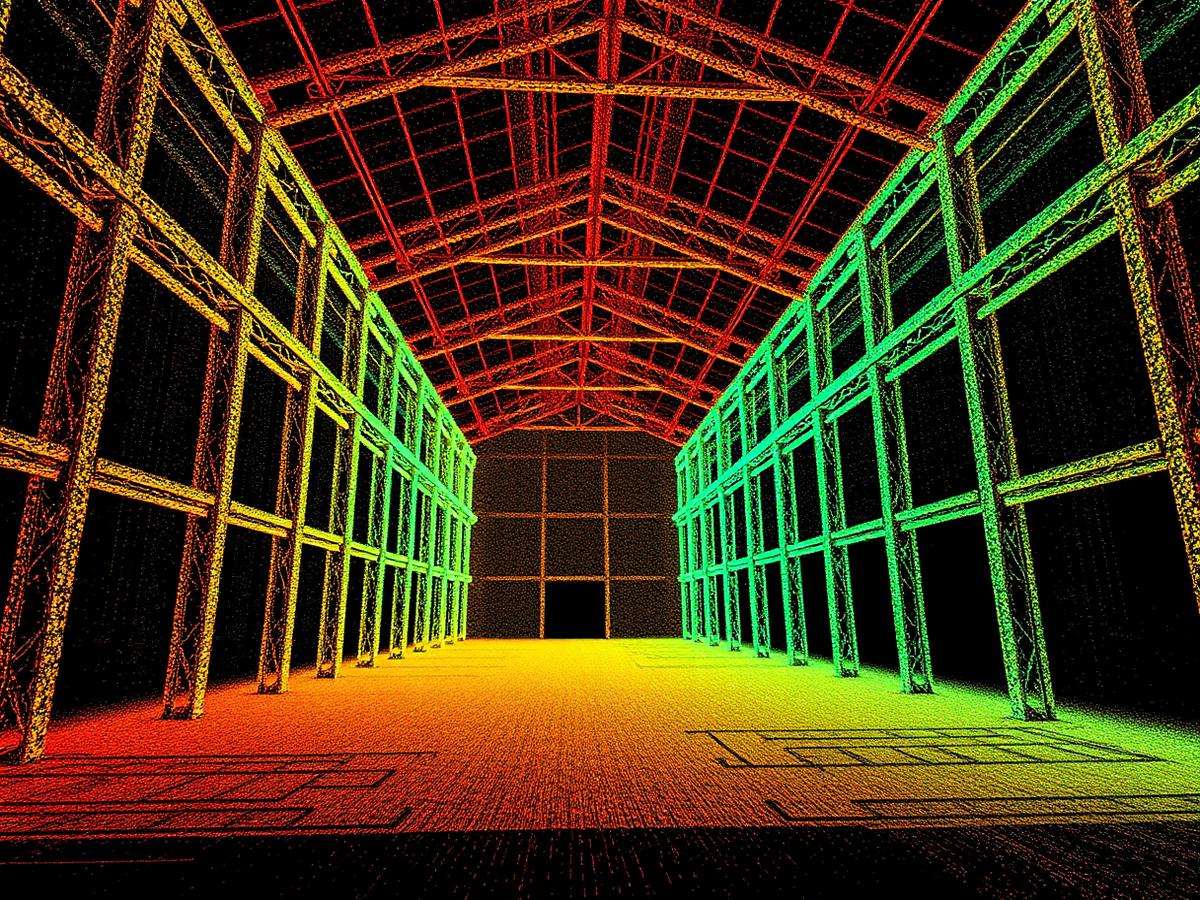
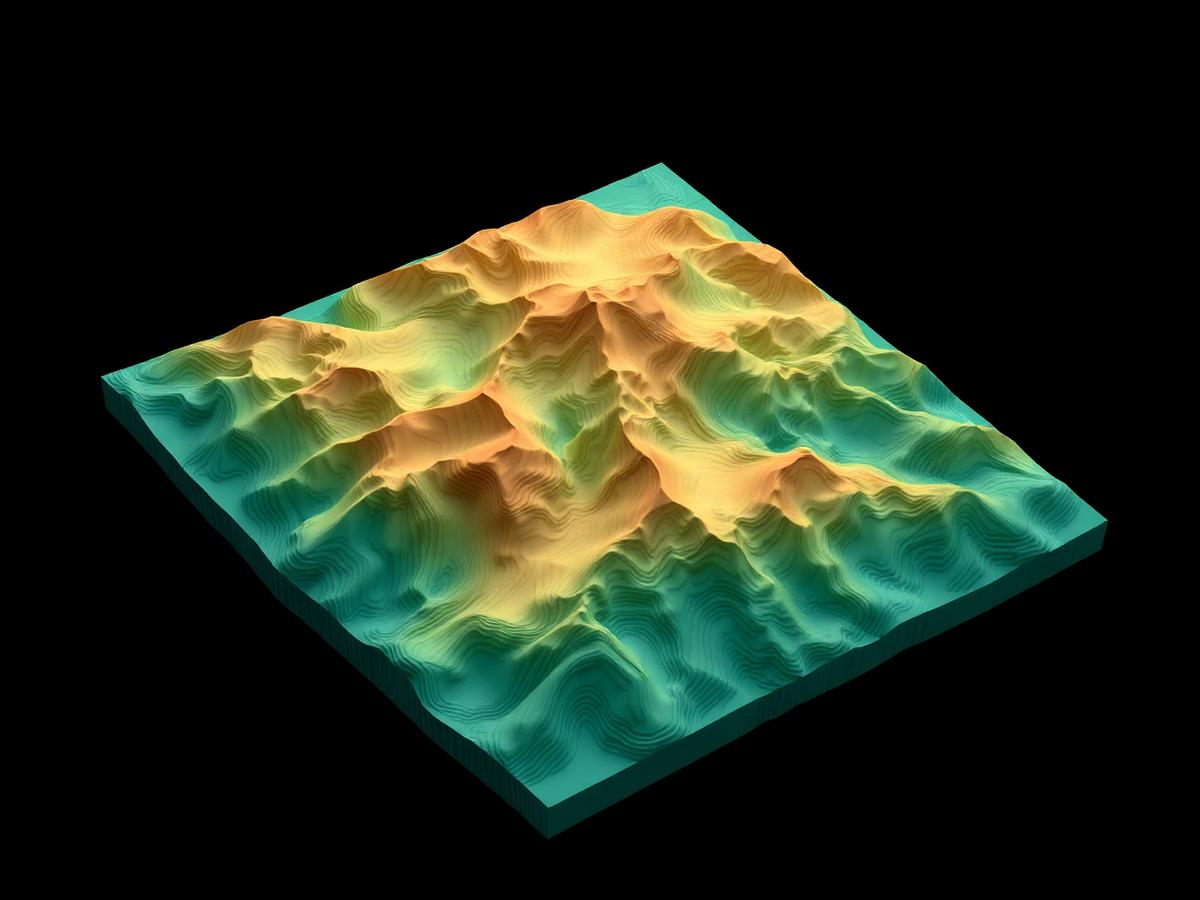
Photogrammetry
Custom orthophoto and terrain model
Our orthophoto is many times more detailed and current than public basemaps. Plus a digital terrain model where every point carries X, Y and Z coordinates.
Learn moreOur own tools
Data you can reach in the field too
CheckGIS
Your spatial data, clearly — in the office and in the field.
CheckGIS displays spatial data in high quality in an environment anyone can operate. It's built for utility network managers, facility managers, site managers and other technicians.
- 2D maps: basemaps for all sites in one place
- 3D models: viewing and measuring over terrain models
CheckPhoto
Capture 2D and 3D documentation yourself.
With CheckPhoto you no longer lose data just because hiring a surveyor is slow and costly. Getting documentation has never been easier.
- Documentation straight from your phone
- Outputs ready for processing
Have a site to survey?
Get in touch — we'll discuss the scope, required outputs and propose a suitable survey approach.