Services

From survey to digital model

We combine unmanned aerial vehicles, laser scanning, mobile mapping systems and classic surveying. We choose the method based on the site and the output you need.

01

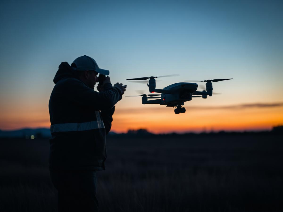
UAS (drones)

We're not just enthusiasts, we're professionals. We use drones primarily for digital photogrammetry — capturing aerial images and processing them in specialized software. The client thus efficiently obtains not only classic surveying but also a whole range of useful outputs.

Outputs

  • Aerial imaging
  • Orthophoto
  • 3D site data
02

Photogrammetry

The typical output is an orthophoto. Compared to publicly available basemaps, ours is many times more detailed and current. Another frequently requested output is a DTM — a digital terrain model, the true 3D state of the site where every surveyed point carries X, Y and Z coordinates.

Outputs

  • Orthophoto
  • DTM / DMS
  • Point cloud
03

Laser scanning

A laser scanner emits a beam that reflects back to the instrument. This creates a point cloud with density down to a few millimetres — a single scan can contain hundreds of millions of points. Each point carries X, Y, Z coordinates and can be worked with in 3D.

Outputs

  • Point cloud
  • 3D model
  • Sections and views
04

As-built documentation

The output of surveying the actual state of a structure is digital as-built documentation: a site plan, floor plans of each level including all existing structures, longitudinal and transverse sections, and views of all façades. The plans include a complete dimensioning system with heights, levels, openings, stairs and roof structures.

Outputs

  • Plans and sections
  • Photo documentation
  • 3D model and visualization
05

Mapping

When you need map data to match reality as closely as possible. We provide both horizontal and vertical surveying of an area and create large-scale purpose maps.

Outputs

  • 3D horizontal & vertical survey
  • Digital terrain model
  • Large-scale purpose maps
06

3D model / BIM

From point clouds, orthophoto and survey data we build a single coherent 3D model of the site or structure. We link geometry, attributes and documentation — the output is a BIM-ready baseline that unifies information for designers, contractors and asset managers.

Outputs

  • 3D site model
  • BIM-ready baseline
  • Visualization and analysis
Surveyor operating a mapping drone in the field

Software

CheckGIS and CheckPhoto

We also deliver the environment to use the measured data — maps and 3D models in one place, and documentation you can capture yourself.

Request a demo