Case studies
Projects we delivered
A growing selection of projects — photos, videos and a short description of what we surveyed and what we delivered.
September 2025
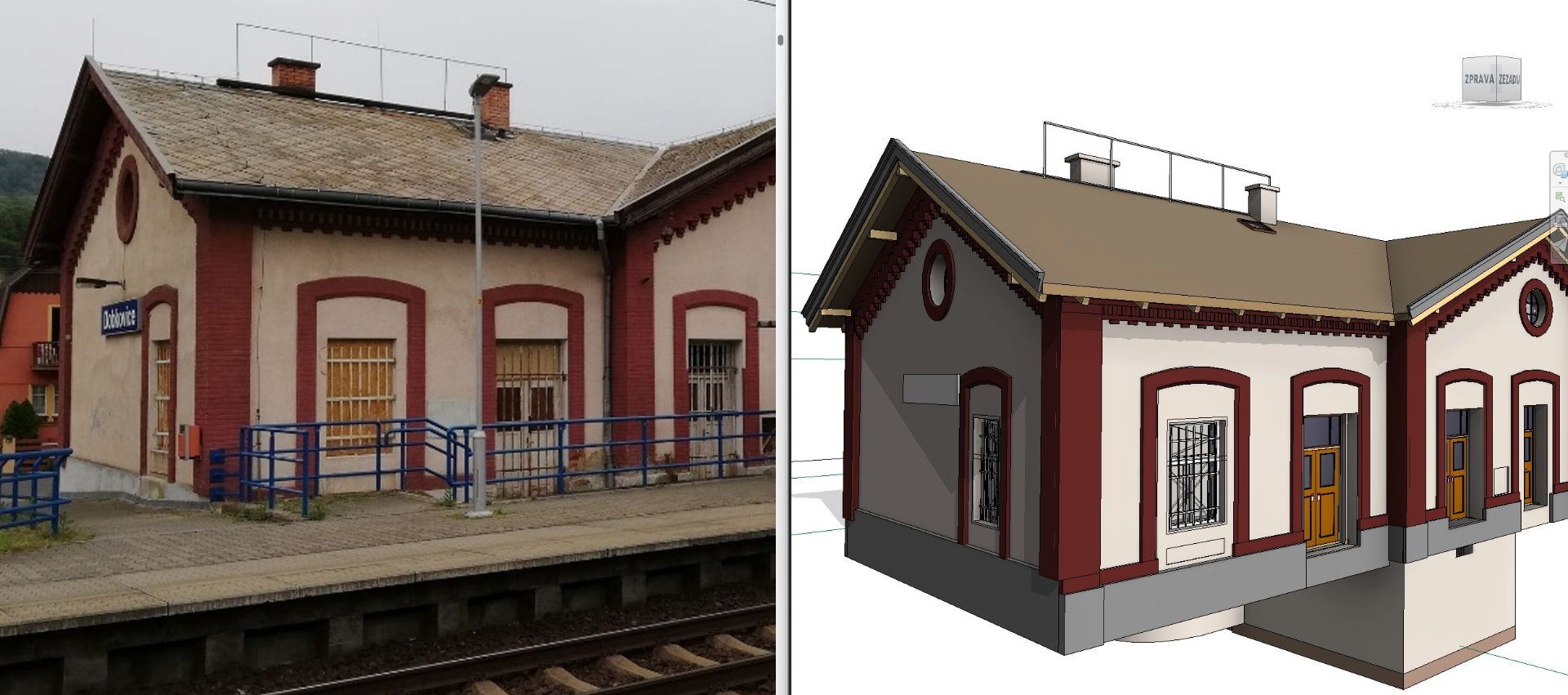
3D survey of the Dobkovice railway station
BRIEF Interior and exterior survey of the railway station building as a basis for as-built documentation and a 3D model of the existing condition. APPROACH The building was surveyed using 3D laser scanning. The processed point cloud subsequently served as a basis for creating 2D as-built documentation and a 3D model in Autodesk Revit. DELIVERABLES Floor plans of individual storeys, longitudinal and cross sections, facade elevations and a 3D model of the building in Autodesk Revit. SERVICES 3D laser scanning As-built documentation 3D modelling / Scan-to-BIM SECTOR Transport and infrastructure LOCATION Dobkovice, Czech Republic
Gallery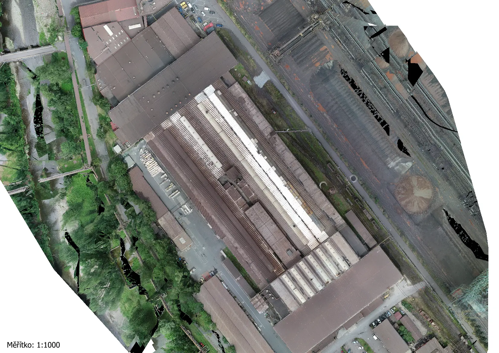
July 2025
Survey of buildings in the Třinec Iron and Steel Works area
BRIEF Surveying several buildings in the Třinec Iron and Steel Works area for the preparation of as-built documentation and a 3D model. APPROACH The interior spaces of the buildings were surveyed using 3D laser scanning. At the Refrasil building, ground-based surveying was complemented by aerial imaging of the site with a drone to create an orthophotomap. DELIVERABLES Floor plans of the individual floors, longitudinal and transverse sections and façade views. The outputs also included a 3D model of the administration building in Autodesk Revit and an orthophotomap of the site. SERVICES 3D laser scanning Structural-technical documentation 3D modelling / Scan-to-BIM Aerial mapping / photogrammetry SECTOR Industry LOCATION Třinec, Czech Republic
Gallery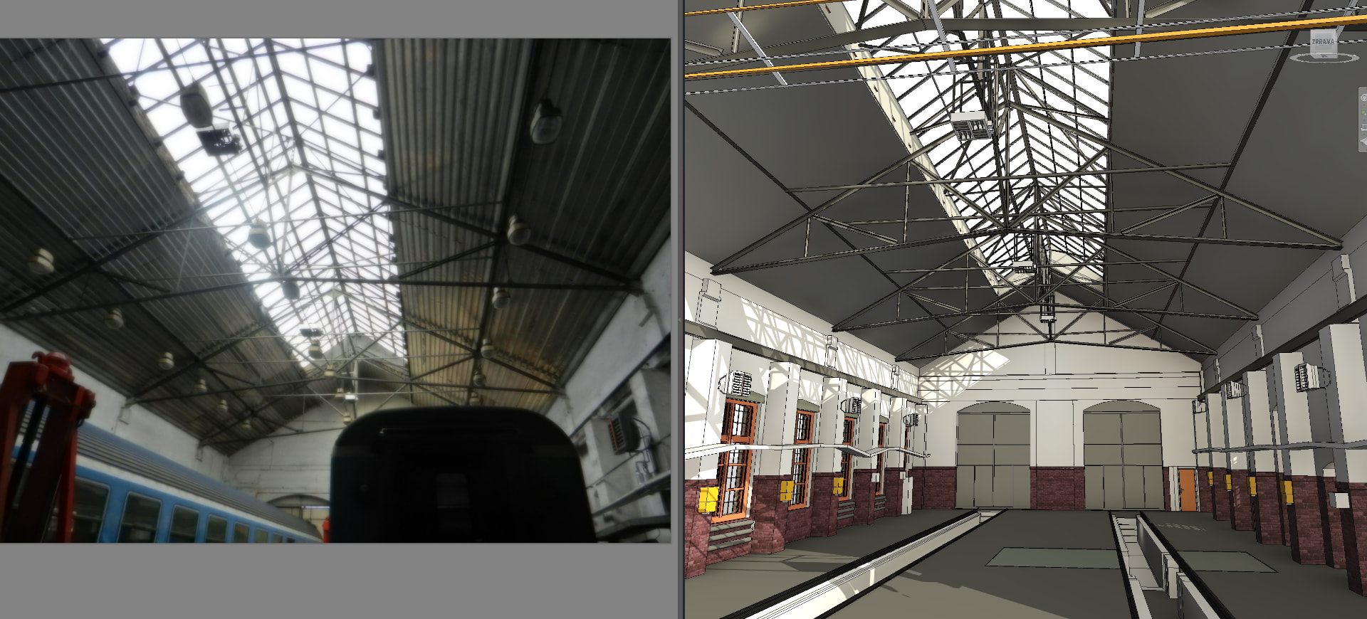
February 2025
3D survey and model of the ČD service hall in Tábor
BRIEF Detailed survey of the service hall including structural elements, assembly pits and selected technical equipment to create a 3D as-built model. APPROACH We surveyed the hall using 3D laser scanning, including its connection to surrounding structures. The resulting point cloud served as the basis for creating a 3D model in Autodesk Revit. DELIVERABLES 3D model of the hall covering structural and load-bearing elements, roof support and the portal crane, assembly pits and selected technical components and routing. SERVICES 3D laser scanning 3D modelling / Scan-to-BIM SECTOR Transport infrastructure LOCATION Tábor, Czech Republic
Gallery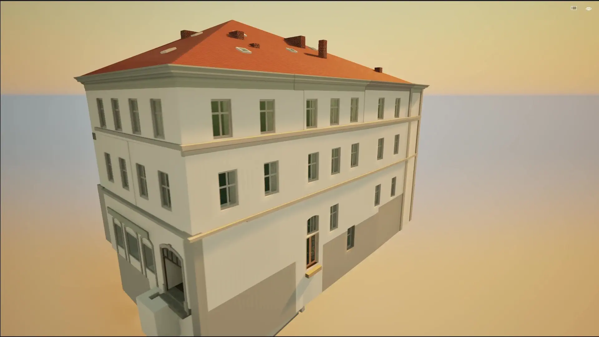
December 2024
3D model and documentation of a building, Jaroměř
BRIEF Surveying the actual condition of the building to create a detailed 3D model and 2D construction documentation. APPROACH We surveyed the building using 3D laser scanning supplemented by geodetic methods. From the registered and georeferenced point cloud, we created a 3D model of the structural elements, selected utilities and other building components with the required ±30 mm accuracy. DELIVERABLES A 3D model of the building in Autodesk Revit and 2D documentation including floor plans of all storeys as well as longitudinal and cross sections in DWG and PDF formats. SERVICES 3D laser scanning 3D modelling / Scan-to-BIM As-built documentation SECTOR Buildings and real estate LOCATION Jaroměř, Czech Republic
Gallery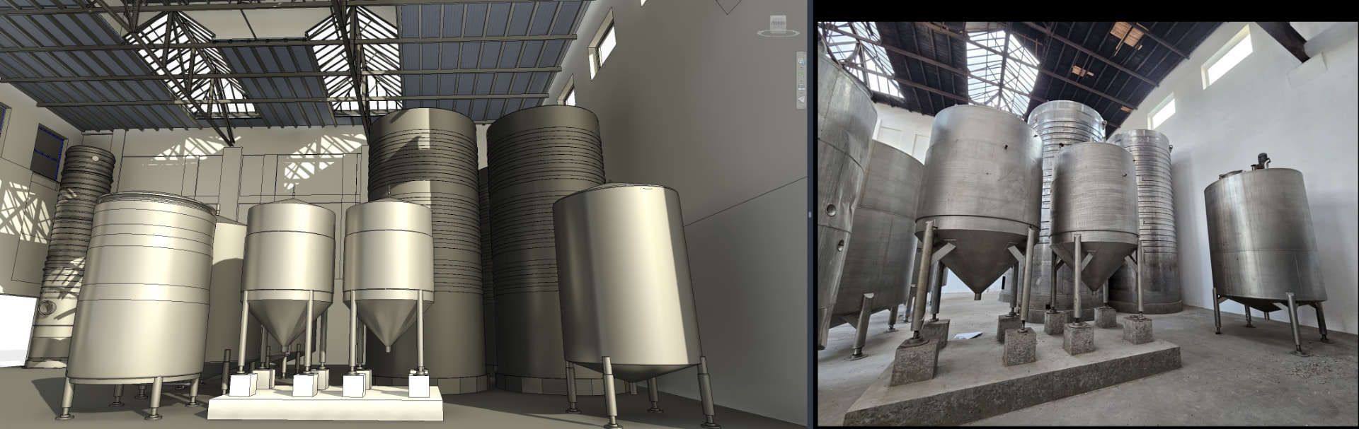
November 2024
3D survey and model of an industrial boiler house in Vrdy
BRIEF Surveying the actual condition of a former lignite boiler house as a basis for creating a detailed 3D model of its structural and industrial constructions. APPROACH The building was surveyed using 3D laser scanning supplemented by geodetic methods. From the registered and georeferenced point cloud, we then created a 3D model in Autodesk Revit with the required accuracy of ±20 mm for the specified structures. DELIVERABLES A 3D model capturing the building and load-bearing structures, roof system, staircases, selected technological elements and main pipelines at the required level of detail. SERVICES 3D laser scanning Geodetic survey 3D modelling / Scan-to-BIM SECTOR Industry LOCATION Vrdy, Czech Republic
Gallery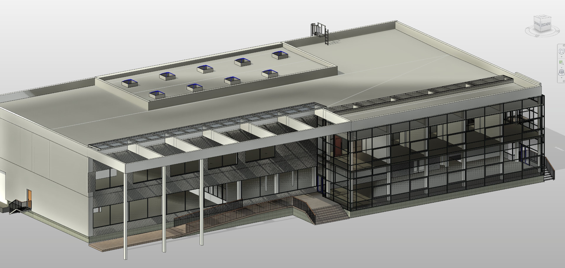
January 2024
Geodetic survey and 3D models of the Olympus Přerov site
BRIEF Geodetic survey of the Olympus site and buildings in Přerov as a basis for preparing construction execution documentation (DPS). APPROACH The site and buildings were surveyed using 3D laser scanning and geodetic methods. The processed and georeferenced point cloud served as the basis for creating 3D models of the buildings in Autodesk Revit. DELIVERABLES 3D horizontal and vertical site plan, detailed 3D model of Building A and conceptual 3D model of Building B in Autodesk Revit. SERVICES Geodetic surveying 3D laser scanning 3D modeling / Scan-to-BIM SECTOR Industry LOCATION Přerov, Czech Republic
Gallery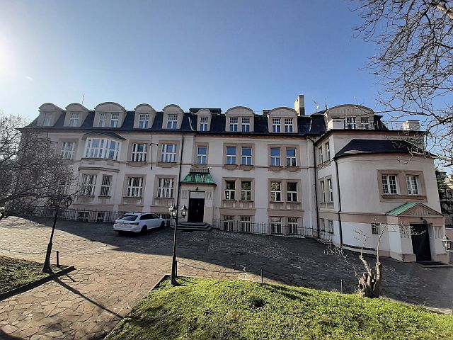
June 2023
3D survey of a polyclinic building in Italská Street
BRIEF Geodetic survey of a five-storey polyclinic building as a basis for building permit design documentation. APPROACH The building was surveyed using 3D laser scanning. The processed and georeferenced point cloud served as a basis for creating 2D documentation and a 3D model in Autodesk Revit. DELIVERABLES Floor plans of individual storeys, sections, elevations and orthophoto elevations, and a 3D model of the building in Autodesk Revit. SERVICES 3D laser scanning As-built documentation 3D modelling / Scan-to-BIM SECTOR Healthcare LOCATION Prague, Czech Republic
Gallery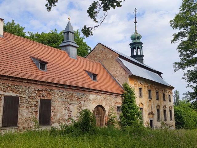
June 2023
3D survey of Javorná Chateau and Church
BRIEF Comprehensive survey of the Baroque Javorná Chateau, its adjacent church and the immediate surroundings as a basis for geodetic documentation of the actual condition. APPROACH We surveyed the entire complex using 3D laser scanning, including a detailed capture of the church interior and its historic furnishings. The measured data served as a basis for creating 2D documentation, façade orthophotos and a 3D model. DELIVERABLES Courtyard planimetry and altimetry, floor plans, sections and elevations, façade orthophotos of the church, a 3D model in Autodesk Revit and 360° panoramic photographs of the church interior. SERVICES 3D laser scanning Geodetic surveying Construction technical documentation 3D modelling / Scan-to-BIM SECTOR Historic buildings LOCATION Javorná, Czech Republic
Gallery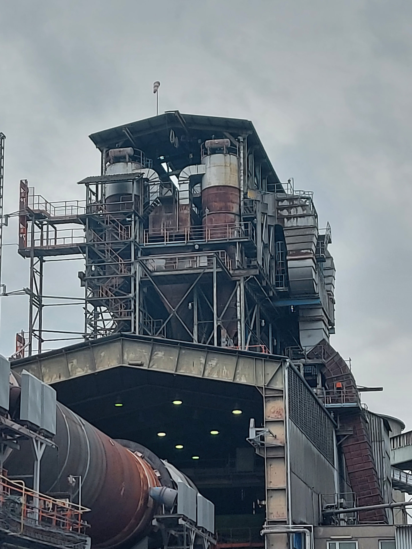
2023–2026
Comprehensive survey of CEMEX Prachovice cement plant
BRIEF Comprehensive survey of the entire cement plant site including buildings and production technologies to create unified 2D and 3D documentation for the facility. APPROACH Ground-level structures and technologies were surveyed using 3D laser scanning and geodetic methods. The data was supplemented with aerial photogrammetry from a drone and then processed into unified outputs for the entire site. DELIVERABLES 3D model of all structures and production technologies, technical site map, horizontal and vertical control, and orthophoto map of the entire area. SERVICES 3D laser scanning Aerial mapping / photogrammetry Geodetic surveying 3D modeling Technical mapping SECTOR Industry LOCATION Prachovice, Czech Republic
Gallery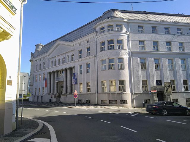
May 2022
Building facility inventory of the Frýdek-Místek Municipal Office
BRIEF Creating an as-built facility inventory of the buildings at Radniční 1147 and 1148, including the structural part and interior technical installations. APPROACH The exterior dimensions and interior layouts of the buildings were surveyed using 3D laser scanning. Based on the acquired data, we produced documentation of the structural part and of the water, sewage, heating, ventilation, air-conditioning and low- and high-voltage electrical installations. DELIVERABLES Floor plans of each storey including separate drawings of technical installations and room tables with details on use, area and floor and wall materials. SERVICES 3D laser scanning Building facility inventory Structural-technical documentation SECTOR Public buildings LOCATION Frýdek-Místek, Czech Republic
Gallery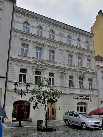
December 2021
Geodetic survey of a historic house on Ovocný trh in Prague
BRIEF Detailed as-built survey of the heritage-protected House at the White Wreath (Dům U Bílého věnce) on Ovocný trh in Prague as a basis for geodetic documentation. APPROACH The building was surveyed using 3D laser scanning, including the interior spaces, the street facade and the immediate surroundings. Originally a Gothic house, it has undergone a number of structural alterations and its current form features a complex building structure and a richly decorated Neo-Renaissance facade. DELIVERABLES Position and elevation plan of the surroundings, floor plans of individual storeys and an elevation of the street facade. SERVICES 3D laser scanning Geodetic surveying As-built documentation SECTOR Historic buildings LOCATION Prague, Czech Republic
Gallery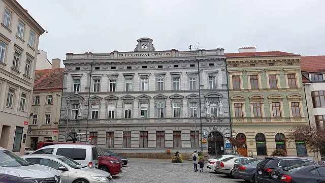
August 2020
Geodetic survey of the post office and municipal office building complex in Znojmo
BRIEF Comprehensive survey of the post office building on Horní náměstí and the Municipal Office on náměstí Armády in Znojmo for geodetic as-built documentation of the buildings and land plots. APPROACH The building complex was surveyed using 3D laser scanning. The processed point clouds served as a basis for building documentation and the geodetic survey of the land plots. DELIVERABLES Floor plans of individual storeys, longitudinal and cross sections, facade elevations, roof truss documentation, planimetric and altimetric plans. SERVICES 3D laser scanning Geodetic survey As-built documentation SECTOR Buildings and real estate LOCATION Znojmo, Czech Republic
Gallery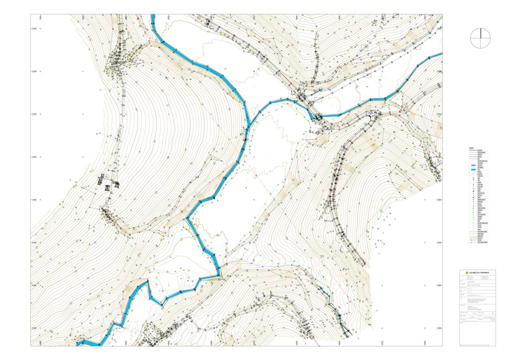
December 2018
Geodetic survey for the Vlachovice water reservoir
BRIEF Preparation of geodetic documentation for the pre-design phase of the Vlachovice water reservoir on an area of more than 500 hectares. APPROACH Given the extent and character of the area, we combined aerial photogrammetry, GNSS and classical geodetic surveying. Open areas were largely surveyed using drones, while watercourses, areas of dense vegetation and other hard-to-reach parts were surveyed with terrestrial methods. Data from the individual methods were then merged into a unified digital terrain model and mapping documentation. DELIVERABLES Positional and elevation map documentation at scales of 1:500 and 1:1000, a digital terrain model and a set of longitudinal and cross profiles for the design preparation of the water structure. SERVICES Geodetic surveying Aerial mapping / photogrammetry Digital terrain model creation SECTOR Water management infrastructure LOCATION Vlachovice and surroundings, Czech Republic
Gallery