January 2024
Geodetic survey and 3D models of the Olympus Přerov site
BRIEF
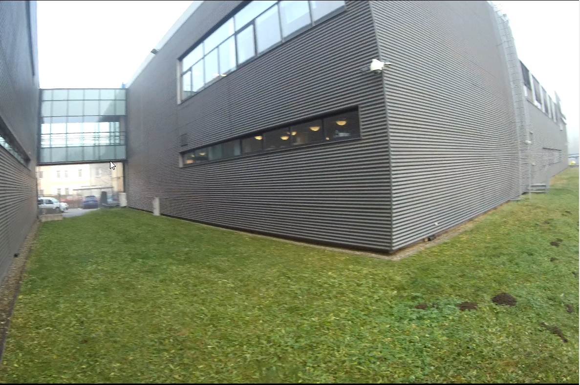
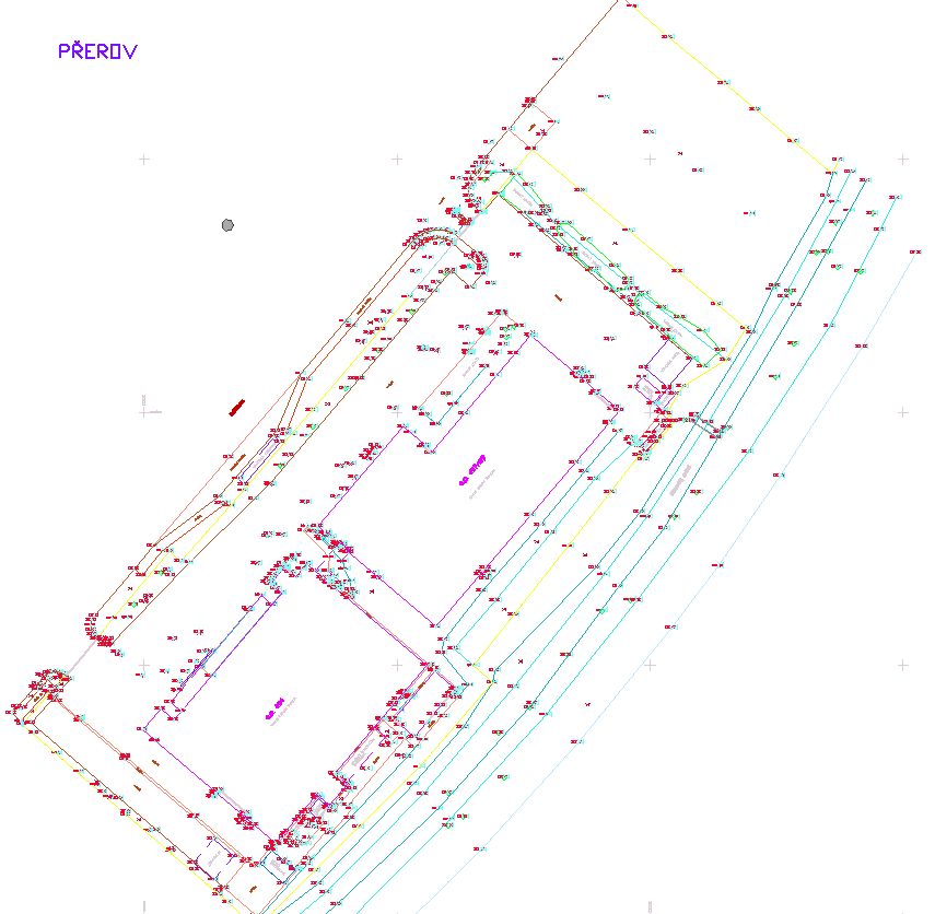
Geodetic survey of the Olympus site and buildings in Přerov as a basis for preparing construction execution documentation (DPS).
APPROACH
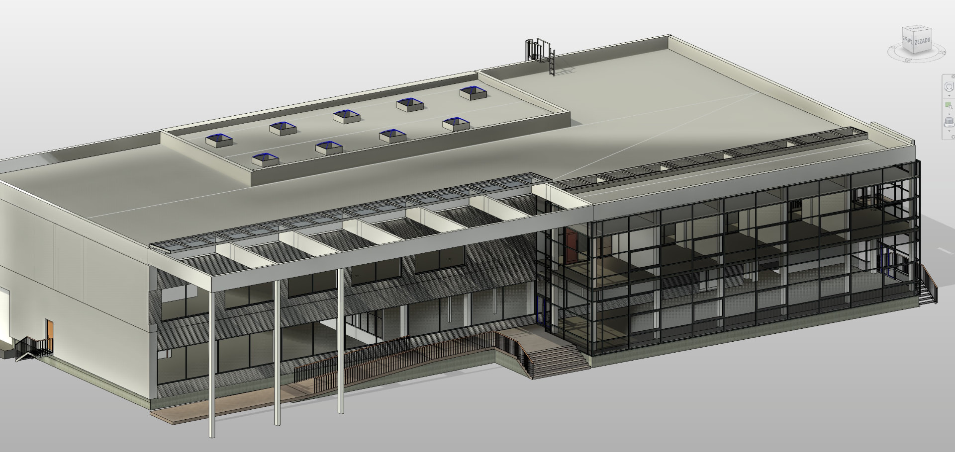
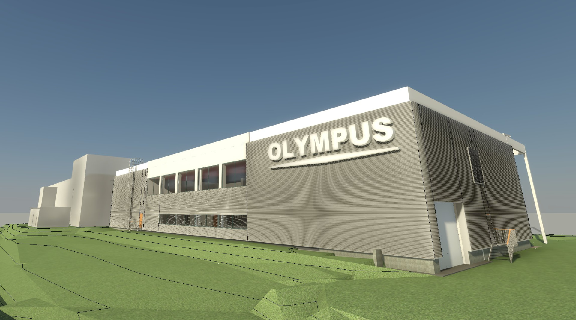
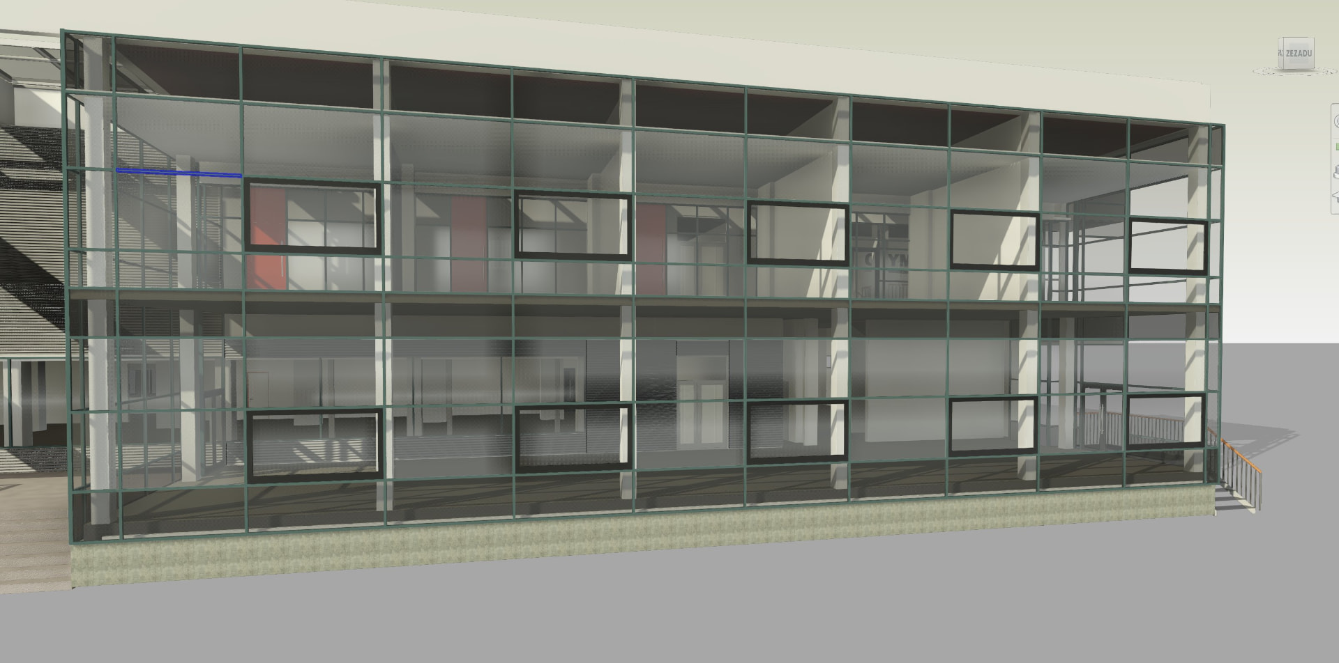
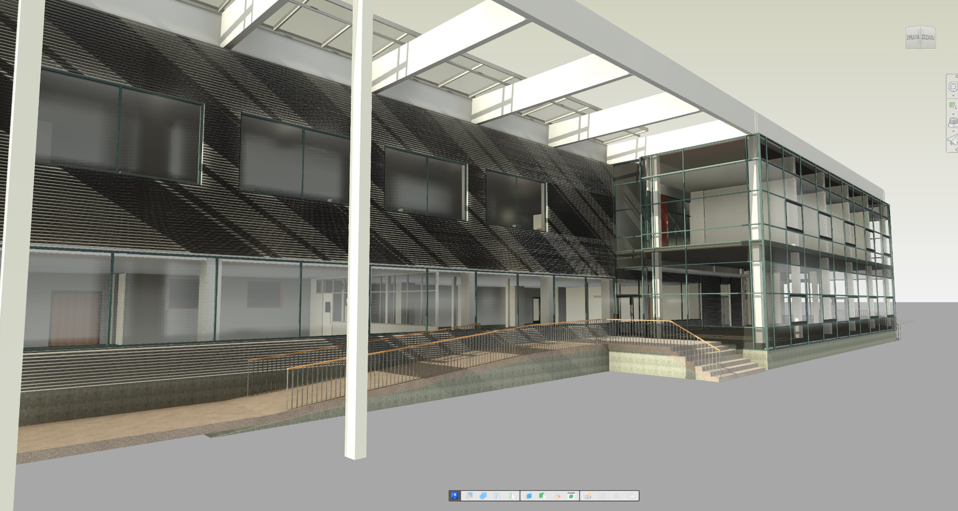
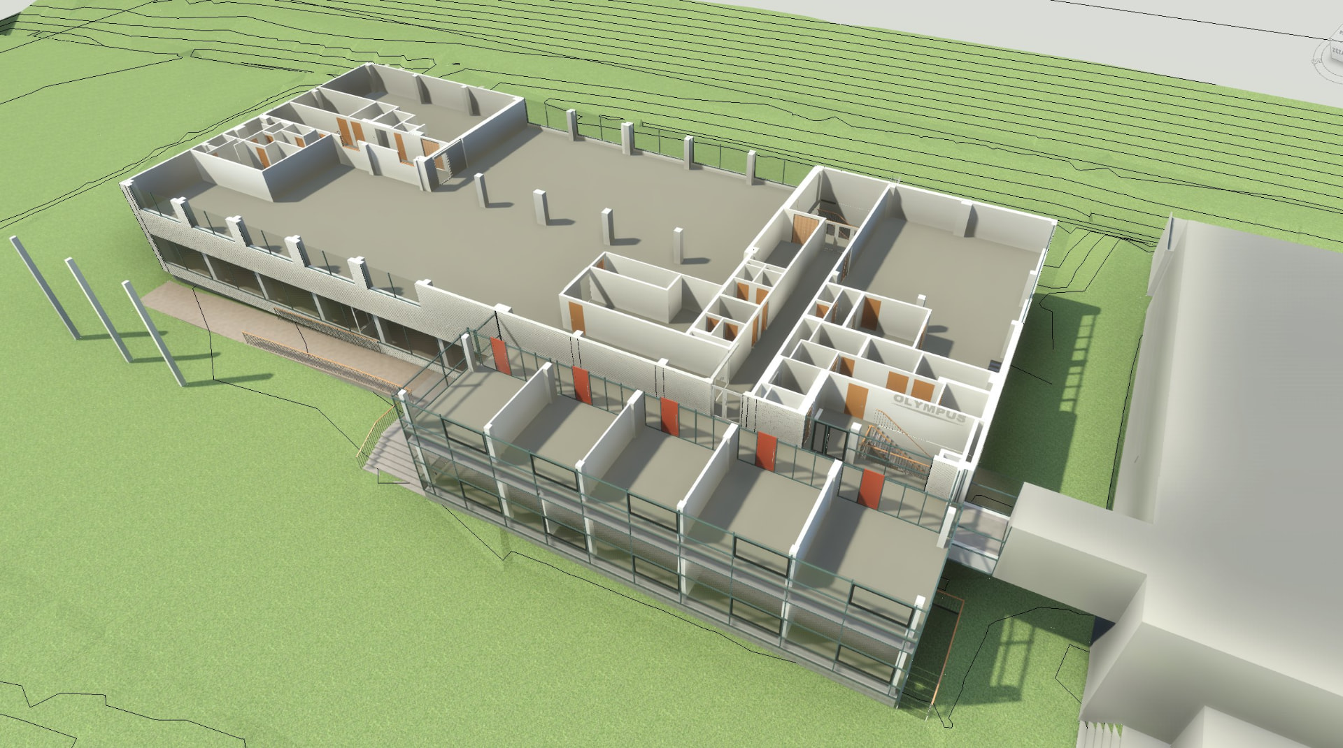
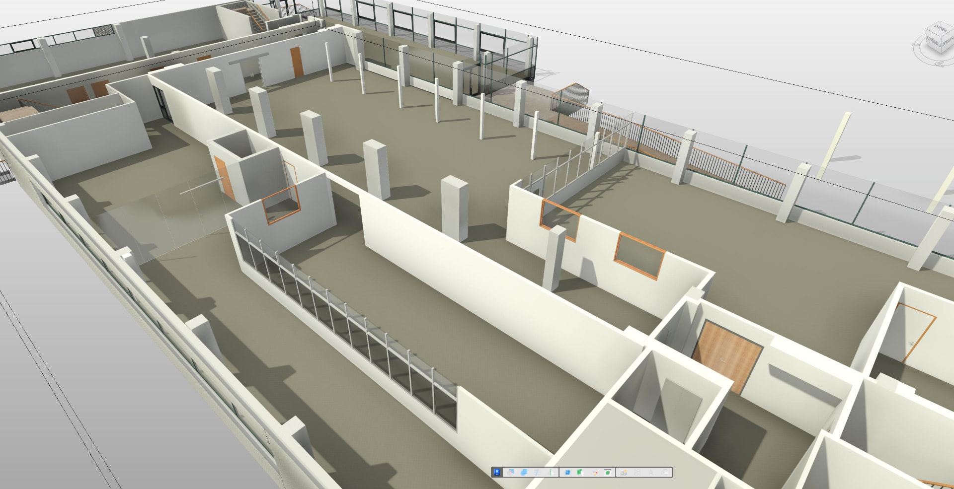
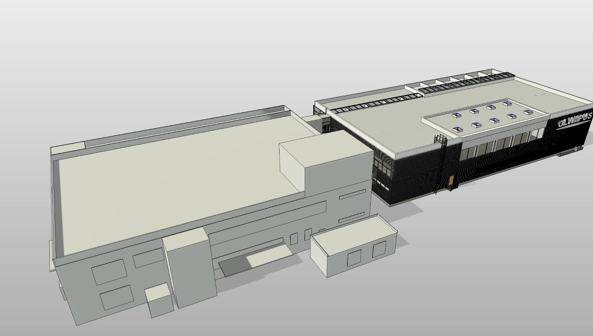
The site and buildings were surveyed using 3D laser scanning and geodetic methods. The processed and georeferenced point cloud served as the basis for creating 3D models of the buildings in Autodesk Revit.
DELIVERABLES
3D horizontal and vertical site plan, detailed 3D model of Building A and conceptual 3D model of Building B in Autodesk Revit.
SERVICES
Geodetic surveying
3D laser scanning
3D modeling / Scan-to-BIM
SECTOR
Industry
LOCATION
Přerov, Czech Republic
Gallery