December 2018
Geodetic survey for the Vlachovice water reservoir
BRIEF
Preparation of geodetic documentation for the pre-design phase of the Vlachovice water reservoir on an area of more than 500 hectares.
APPROACH
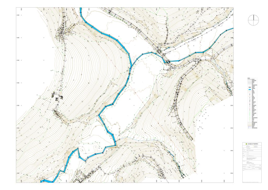
Given the extent and character of the area, we combined aerial photogrammetry, GNSS and classical geodetic surveying. Open areas were largely surveyed using drones, while watercourses, areas of dense vegetation and other hard-to-reach parts were surveyed with terrestrial methods. Data from the individual methods were then merged into a unified digital terrain model and mapping documentation.
DELIVERABLES
Positional and elevation map documentation at scales of 1:500 and 1:1000, a digital terrain model and a set of longitudinal and cross profiles for the design preparation of the water structure.
SERVICES
Geodetic surveying
Aerial mapping / photogrammetry
Digital terrain model creation
SECTOR
Water management infrastructure
LOCATION
Vlachovice and surroundings, Czech Republic
Gallery